Fly Fishing During Runoff Season: Where to Go When Everything Blows Out
Your home river is chocolate milk. These waters across the West still fish.
Cooper Hayes
August 26, 2026
9 min read
You drove four hours. You took Friday off work. You told your wife you'd be back Sunday night. And now you're standing at the access point staring at a river that looks like a chocolate milkshake. The gauge read 800 CFS when you checked Tuesday. It's 3,200 CFS now. There's a tree floating past.
This is runoff season in the Rockies. Late April through mid-June, every snowfield above 9,000 feet melts at once, and freestone rivers go from fishable to unfishable in 48 hours. It happens every year, and every year it catches people off guard.
The standard advice is to fish the muddy water anyway. Throw streamers, add weight, get deep. That works sometimes. This post covers the other option: the rivers that are still clear while yours is chocolate milk.
Why some rivers stay fishable
Three types of water resist runoff.
Tailwaters pull cold, clear water from the bottom of reservoirs. The dam acts as a filter. Snowmelt fills the reservoir from the top while the outflow pipe sits 40 to 100 feet below the surface. The result: consistent flows and clear water even when every tributary upstream is blown.
Spring creeks are fed by underground aquifers, not surface runoff. Springs maintain constant temperature and flow year-round. They don't care about snowpack.
Low-elevation freestones blow out first (often by early May) and clear first (often by late May). While high-country rivers are still peaking, lower rivers have already dropped back to fishable levels. Timing matters here.
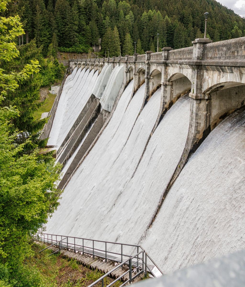
Water cascading over a dam spillway. Below this wall, the river runs cold and clear while every tributary upstream is blown out.
Colorado
Fryingpan River. When the Roaring Fork, Eagle, and Colorado mainstem all blow out simultaneously (which they do, every June), the Fryingpan below Ruedi Reservoir keeps flowing at 200 to 300 CFS of clear, cold water. Green drakes and PMDs start in early July and last into September. Mysis shrimp patterns work year-round below the dam. The catch: everyone else knows about the Pan too. In runoff years, the parking lot at the dam fills by 8 AM. Fish weekdays if you can. Colorado flows
South Platte, Cheesman Canyon. Cheesman Reservoir controls the flow. When the upper South Platte and its tributaries are raging, the canyon section below the dam runs 100 to 400 CFS of clear water. The 1.5-mile hike from the parking lot filters out casual visitors. Expect size 18-22 midges and BWOs on 5X or 6X tippet. These are smart fish in clear water, so slow down and keep a low profile. South Platte guide
Blue River, Silverthorne. The Blue below Dillon Reservoir is one of the more underrated May-June options along the I-70 corridor. When Gore Creek, the Eagle, and the upper Colorado are all mud, the Blue runs clear at 100 to 300 CFS. It's not big water, but the fish are there. BWOs hatch heavily in May. Access is easy from the outlet mall area in Silverthorne.
Montana
Missouri River. Three reservoirs in series (Canyon Ferry, Hauser, Holter) create a massive buffer. The Missouri below Holter Dam runs 4,000 to 5,000 CFS of clear, cold water year-round, holding 5,000 to 8,000 trout per mile. While the Madison, Gallatin, and Yellowstone are all blown during late May and June, the Missouri is fishing as well as it does all year. BWOs, PMDs, and caddis all overlap in June. Craig fills up in early June for exactly this reason, and so does every guide's calendar. Book early if you want a guided float during runoff. Montana flows
Bighorn River. The Bighorn below Yellowtail Dam is Montana's other runoff insurance policy. The Afterbay Dam downstream smooths out hydroelectric pulses, giving you stable flows all day. Trout densities run 3,000 to 6,000 per mile with a 14-inch average. Fort Smith is a three-hour drive from Bozeman, but when everything closer is blown, those three hours feel like nothing. BWOs, PMDs, and caddis carry the fishing through May and June.
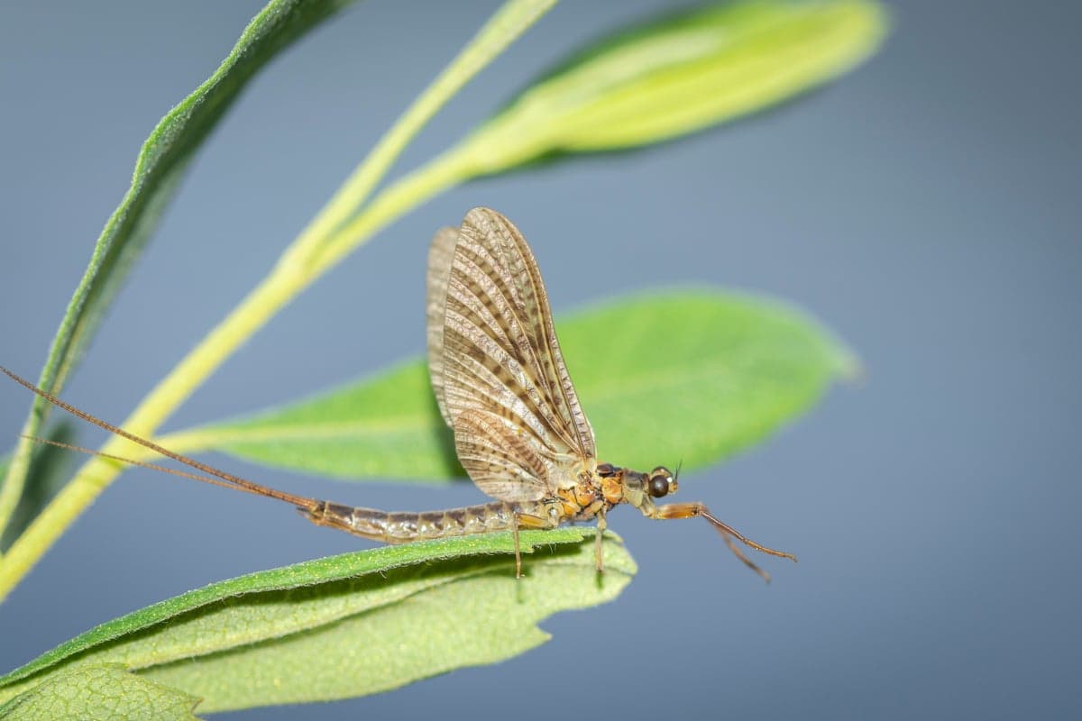
A mayfly resting on a leaf. Tailwater hatches keep producing even when nearby freestones are running high and brown.
Beaverhead River. The Beaverhead below Clark Canyon Dam is another tailwater option, about two hours south of Butte. It fishes well in May and June when everything else in southwest Montana is off. Flows typically run 500 to 1,000 CFS during spring, with wading possible on the upper river when flows drop closer to 300 CFS. Brown trout dominate, with fish averaging 15 to 17 inches. Fewer anglers make the drive compared to the Missouri, so you'll have more water to yourself.
Montana spring creeks. The spring creeks of Paradise Valley (Armstrong, Nelson, DePuy) fish year-round because they're spring-fed, not snowmelt-fed. Water temperatures hold steady around 50 degrees. The creeks run through private land with rod fees ($100 to $200 per day), but when the Yellowstone is a fire hose at 15,000 CFS, a spring creek permit suddenly feels like a bargain. Expect PMDs and caddis in June, with technical sight-fishing to fish that see a lot of flies.
Wyoming
North Platte, Grey Reef and Miracle Mile. While smaller Wyoming creeks are blowing out, the North Platte between Seminoe and Pathfinder Reservoirs keeps fishing. Wyoming Game and Fish electrofishing surveys show 3,200 trout per mile at the Miracle Mile and up to 8,000 per mile in the upper Grey Reef, with fish averaging 16 to 20 inches. Legitimate shots at 10-pound rainbows exist here, especially during the spring spawn when big fish move up from Pathfinder Reservoir. Midges, scuds, and San Juan Worms are the staples. Wyoming flows
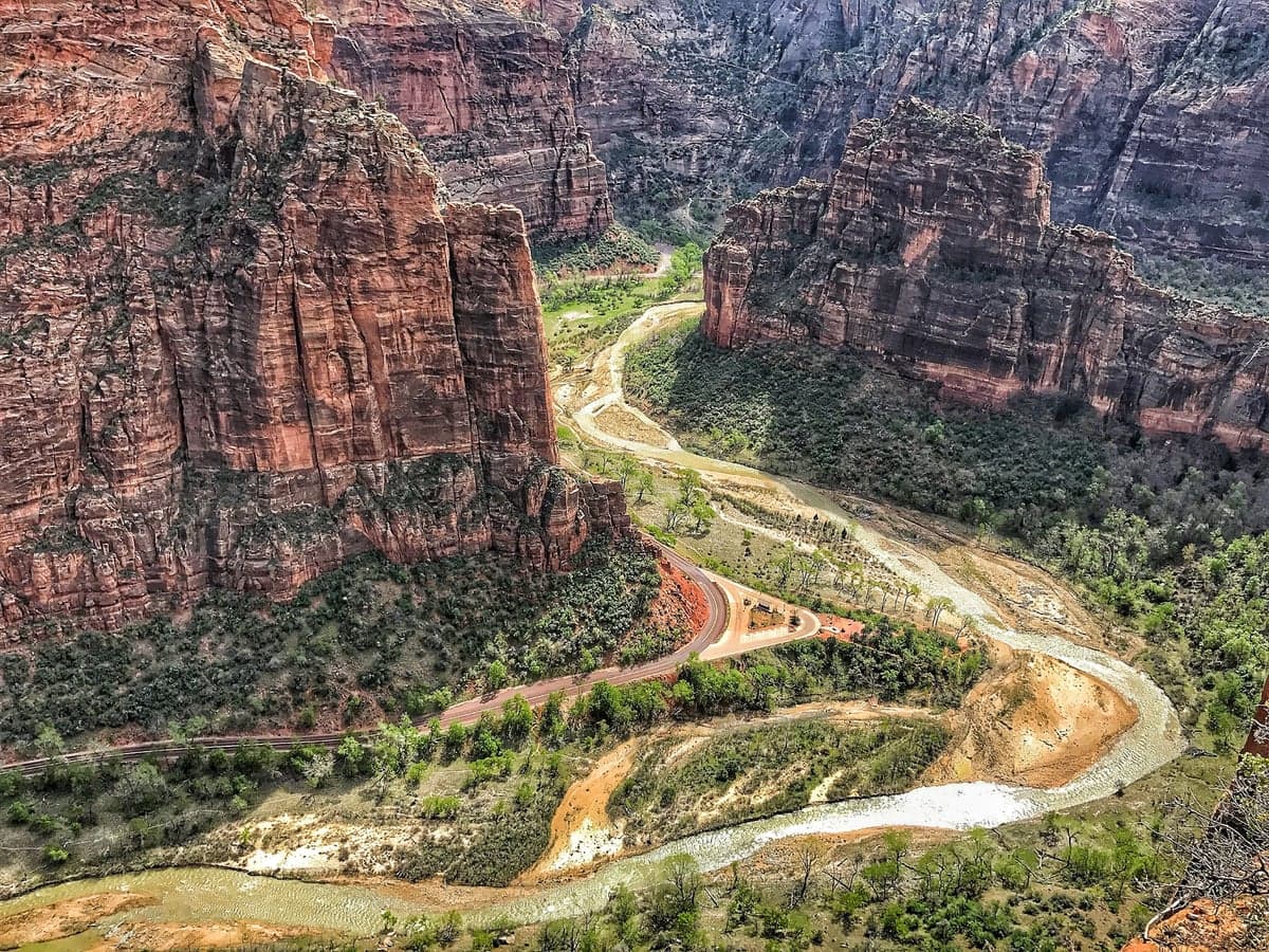
A canyon river in Utah. The West's dam-controlled tailwaters run clear through canyon country while nearby freestones run brown.
Utah
Green River, below Flaming Gorge. The A Section is one of the best dry fly tailwaters in the West, and May-June might be its best window. BWOs hatch heavily through May. Cicadas start emerging in early May when ground temperatures hit the mid-60s, creating some of the most exciting dry fly fishing anywhere. Trout densities run 8,000 to 22,000 fish per mile depending on the section. Base flows run 800 to 1,200 CFS through spring, perfect for wading. Watch for occasional high-water releases that mimic natural runoff, but even those clear quickly. Utah flows
Idaho
South Fork Boise. The South Fork below Anderson Ranch Dam is an overlooked tailwater that fishes well in April and May while Idaho's freestones are still rising. Flows run 600 to 1,200 CFS from the dam, with water temperatures in the mid-40s. Rainbow and brown trout respond well to nymphs (stonefly and caddis patterns) in the upper miles. The drive from Boise takes about an hour, making it a realistic day trip when the Middle Fork and Main Salmon are running at flood stage. Idaho flows
Silver Creek. This spring creek near Sun Valley is famous for its technical fishing and gin-clear water. It runs on springs, not snowmelt. When the Big Wood and Big Lost rivers blow out in May, Silver Creek is sitting there at 50 degrees with PMDs hatching on schedule. Fish average 14 to 18 inches, mostly browns and rainbows, and they feed in water so clear you can count spots on their backs. It's harder than it looks. Bring 6X, small flies, and patience.
The Plan B mindset
The anglers who have the best runoff seasons aren't the ones who picked the right river on their first try. They're the ones who checked conditions before leaving home, had a backup plan, and didn't waste a weekend staring at muddy water.
A few specifics that help:
Check flows the morning of. Not Tuesday for a Saturday trip. River conditions during runoff can change 1,000 CFS in a day. Check current conditions the morning you plan to fish. If your target river doubled overnight, switch to your backup.
Know your tailwater backups by region. If you're based on the Front Range of Colorado, your backups are the Fryingpan, South Platte, and Blue River. If you're in the Bozeman area, it's the Missouri and Bighorn. If you're near Salt Lake City, the Green River below Flaming Gorge is three hours away. Know these drives and keep them in your back pocket.
Watch the clearing trend. After a freestone peaks, it typically takes 5 to 10 days to clear enough for fishing. Low-elevation rivers clear first. If your target river peaked last week and the gauge shows a steady downward trend, it might be fishable by the weekend. Compare current flows to historical averages on RiverReports to see if flows are heading in the right direction.
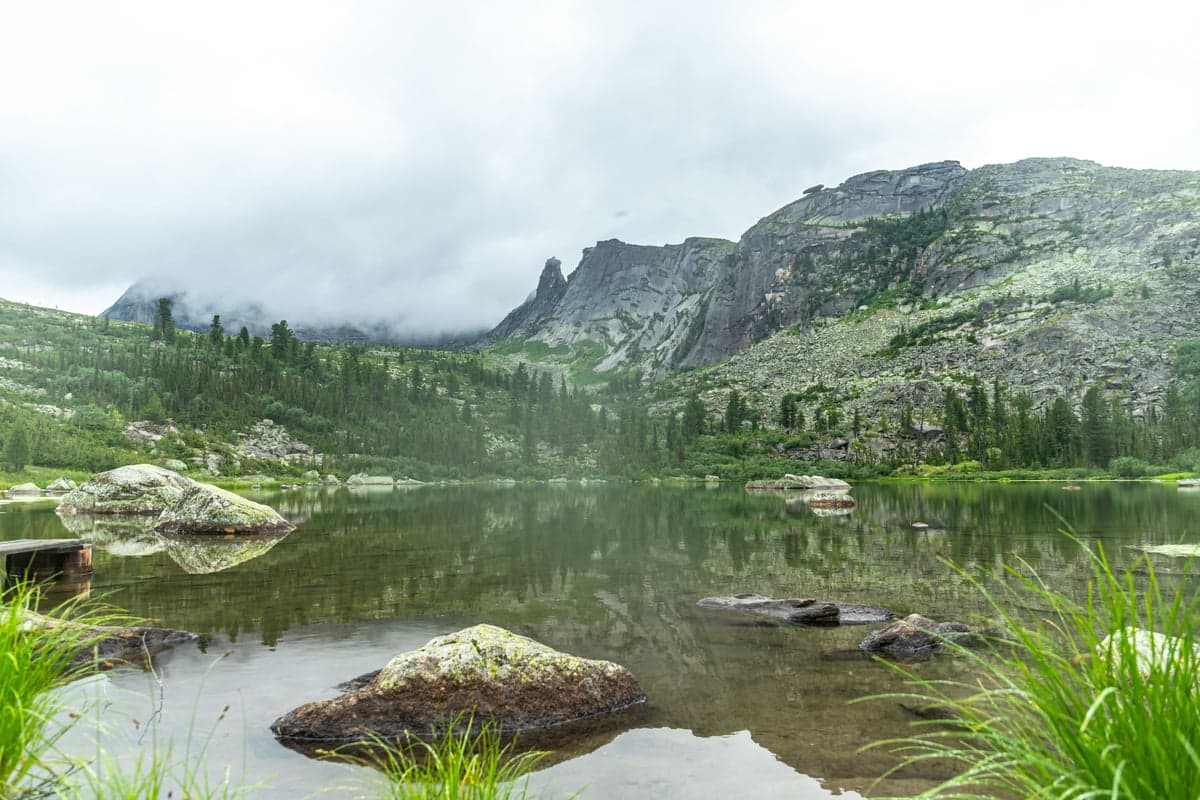
When every river in the county is blown, a mountain lake like this is calm, cold, and full of fish that haven't seen a fly in months.
Don't forget stillwater. When every river in the county is blown, lakes and reservoirs are sitting there, calm and fishable. Reservoir fishing from a float tube or pontoon boat can be outstanding in May and June. Chironomid hatches on stillwater are some of the most technical fishing you'll find anywhere, and most fly anglers never try it.
Read the gauges, not the forecast
Runoff is unpredictable, but it's not random. A warm week in May will push CFS numbers up fast. A cold snap will slow things down. The difference between a blown-out weekend and a good one often comes down to checking the gauge on Friday night instead of just hoping.
RiverReports shows current CFS for any river in the country. Compare the current number to the historical median for the date. If flows are 300% of normal, that river is blown. If they're at 120% and trending down, you might have a window. Set up flow alerts so you don't have to check manually every morning.
Runoff is part of the cycle that keeps Western rivers productive. The trout need high water to flush the cobble, move nutrients downstream, and reset the habitat. You don't need to avoid it. You need somewhere else to stand while it happens.
Build the list now
Bookmark this page for next May. Build your list of backup waters before runoff starts, not after. And when your buddy texts you a photo of the river looking like coffee with cream, you'll already know where you're going instead.
Check current flows across all states. Set up flow alerts on your favorite rivers. And read our guide to tailwaters that fish year-round if you want to go deeper on dam-release fisheries.
The water is out there. You just have to know where to look.
Get River Intel Weekly
Flow updates and fishing intel delivered every Thursday.
River Intel Weekly
Weekly flow updates and fishing intel.
© 2026 RiverReports, Inc.